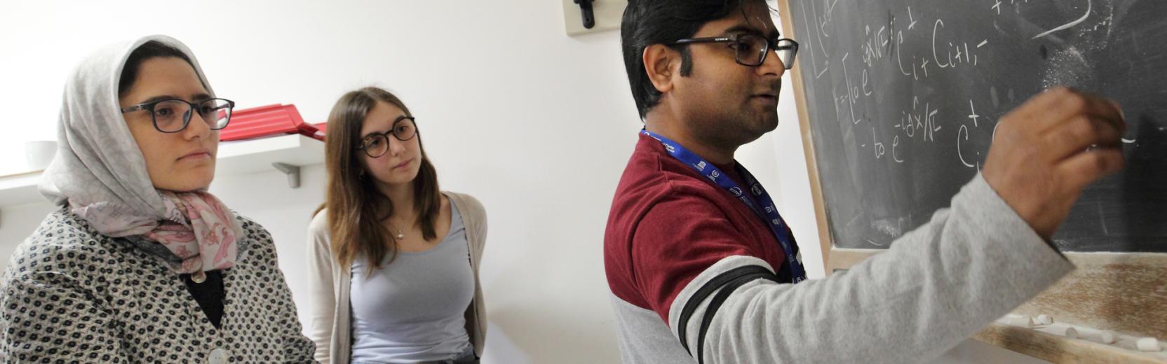

seminars
26
Jun
2026
26
Feb
2027
Earth System Physics
Current Weather - Fridays 14:30 CET
Hybrid
Back
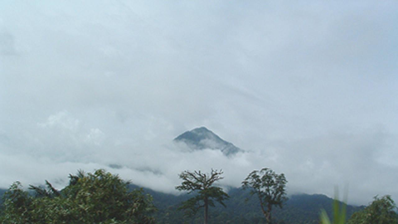
Considering the length of time that humans have lived on Earth, you might be surprised at how much is still unknown about the planet itself. And not just the little details, but the big ones, like what the heck is that volcano doing there?
A scientific version of that question fascinates ICTP geophysicist Abdelkrim Aoudia and long-term visiting scientist Mariangela Guidarelli. In the Western Africa border region between Cameroon and Nigeria, a rough line of former volcanoes known as the Cameroon Volcanic Line extends, stretching from islands just offshore in the Gulf of Guinea to the giant, active Mt. Cameroon, the second largest volcano in Africa. According to Aoudia, the volcano is in a geologically strange place. "We do not exactly know what this volcano is doing there. It's far from active plate boundaries where we usually expect volcanoes to be."
Aoudia and Guidarelli tackled the mystery of the misplaced volcano using ambient noise tomography, a relatively recent tool in the geophysicist’s arsenal. Any seismic wave, regardless of size, travels faster through rigid media and slower through viscous ones. Ambient noise tomography makes use of the low-amplitude seismic waves, or "noise", recorded constantly at seismic stations. In contrast, the classic method of figuring out what's going on under the surface of the Earth is to wait for earthquakes. The seismic waves generated by earthquakes around the world are harnessed to effectively "x-ray" the Earth's crust in a certain area. But West Africa is not a seismically active area: there's not a lot of earthquakes to exploit for measurements. And that's not the only drawback.
"Past studies have used earthquakes to provide a picture of the area," says Aoudia, "but the technology means that all of them were looking at the mantle, the chunk of the Earth that is 30 km beneath the surface, while Mt. Cameroon is right at the surface." Guidarelli and Aoudia took advantage of the sharp resolving power of ambient noise tomography to get a much clearer picture of what the first layer of crust looks like. "You don't get fine details of the crust using only natural earthquakes across the globe," explains Aoudia. "So our work here is to really to fill a gap, to look at how the crust compares to the geological features at the surface, and how the crust connects to the mantle."
The results of their study, published in a recent issue of Geophysical Journal International, fill that gap with many new details. Aoudia and Guidarelli found that the composition of the crust is quite heterogeneous. Underneath smaller volcanoes on the Cameroon Volcanic Line the crust is very rigid--magma is not moving there. This is a useful confirmation of these volcanoes' dormant state: some other indicators, such as carbon dioxide off-gassing, have suggested they could one day erupt again. It turns out the only possibility for magma is underneath Mt. Cameroon.
One of the details of the heterogeneous crust the ambient noise tomography revealed is that the border of what's known as the Congo Craton runs right next to the Cameroon Volcanic Line. A craton is an area of the lithosphere, or the crust and the top level of the mantle, that has been stable for billions of years—a contrast to seismically or volcanically active areas. Cratons can be twice as thick as the typical 100 km lithosphere depth, and tend to have distinct boundaries that can erode over time. Aoudia thinks this boundary of the Congo Craton may play a role in influencing the strange location of the Cameroon Volcanic Line, with magma possibly oozing around the craton's edge and shooting up to create volcanoes. A lot more research has to be done, he explains, but having a much more exact boundary for the craton in this region is a key first step.
One of the areas Aoudia wants to expand this work into is the parts of the Cameroon Volcanic Line that are out in the Gulf of Guinea. But where this paper re-examined existing data, studying the part of the Line underneath the ocean would require collecting new data. Collecting data underwater is difficult and complicated, involving boats, underwater seismometers and extensive fieldwork. A grant application to fund this exploration is in the works, together with other institutions, driving hopes that the underwater data will further probe the mystery of the strange volcanoes, and better understand both the geodynamics of Western Africa and volcanic and seismic danger in the region.
"There is still a lot to learn, a lot to know and understand about the earth structure," says Guidarelli. "The more we understand about the behavior of the crust and the mantle, the more we can understand about the volcanic and seismic risk."
Reference: Ambient noise tomography of the Cameroon Volcanic Line and Northern Congo craton: new constraints on the structure of the lithosphere, Geophys. J. Int. (March, 2016) 204 (3): 1756-1765. doi: 10.1093/gji/ggv561
--Kelsey Calhoun