For the last 20 years, space agencies have launched multiple
satellites into space to monitor and record Earth-surface changes
with greater ease than a single land-based instrument. Scientists
then use the information these satellites collect to help them
study geological disasters such as volcanoes and landslides.
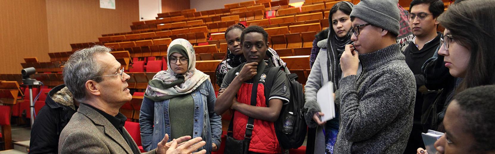
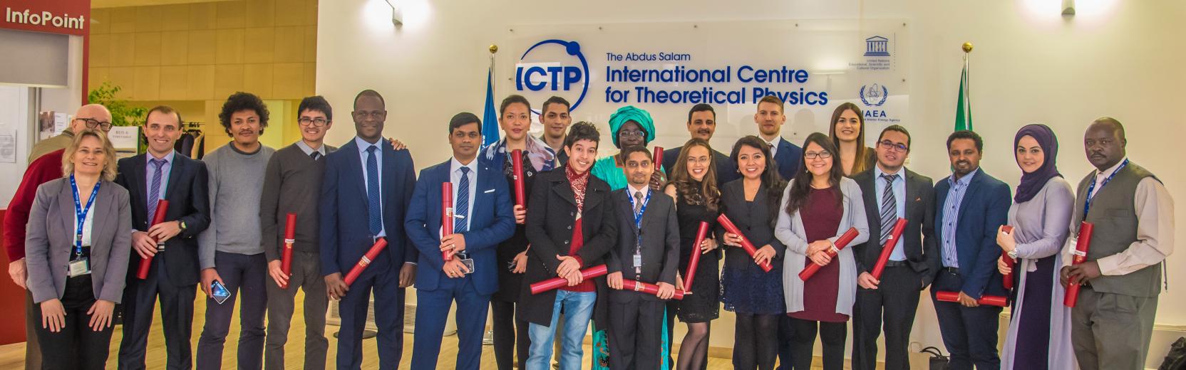
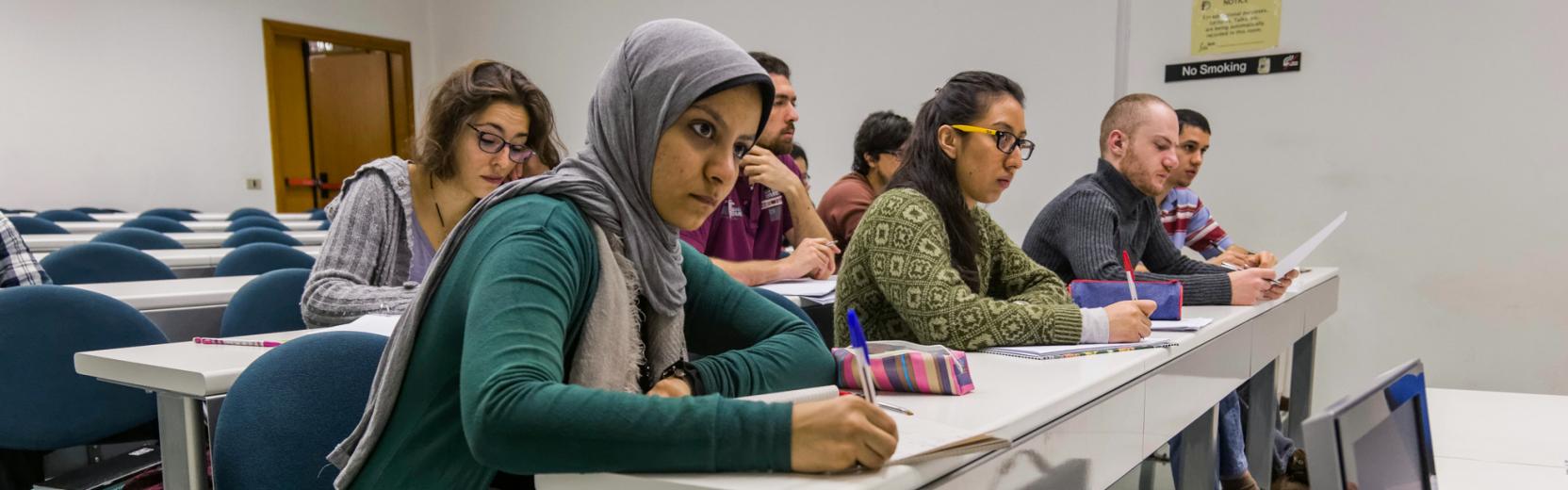
Earlier this month, ICTP hosted the "Conference on Synthetic
Aperture Radar: A Global Solution to Geological Hazards," which
included state-of-the-art lectures and practical sessions. The
sessions were dedicated to helping scientists in developing
countries process and utilize data taken from instruments using
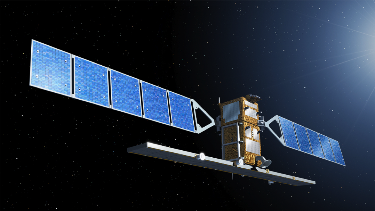
Interferometric Synthetic Aperture Radar (InSAR), a radar technique
that measures how Earth's surface is changing over days, months and
years. Abdelkrim Aoudia, a scientist with ICTP's Earth System
Physics section who specializes in solid-Earth geophysics,
organized the conference together with Ian Hamling, a former ICTP
postdoc who is now at GNS New Zealand, and Tim Wright of the School
of Earth and Environment at the University of Leeds, UK.
Most SAR data is now open source, meaning it's available to
anyone, anywhere at any time, Aoudia says. And applications to use
this data for monitoring the activity of earthquakes, volcanoes,
landslides and land subsidence are well developed in the science
community, but developing countries make little use of it. The
trick is knowing what to do with the data once you have it.
First, you must know how to process the data and second you must
apply the appropriate modeling tools to understand the physics
behind the geological disasters you're studying. These two steps
are the prominent barriers preventing scientists in the developing
world from using readily available InSAR data concerning their
country. Conferences like ICTP's, therefore, are important and help
in building an InSAR community in developing countries, Aoudia
says.
Even at a global scale, SAR remains underutilized. Nowadays, the
challenge stands in taking full advantage of past and present SAR
data from the many different instruments and using it for better
disaster preparedness and response.
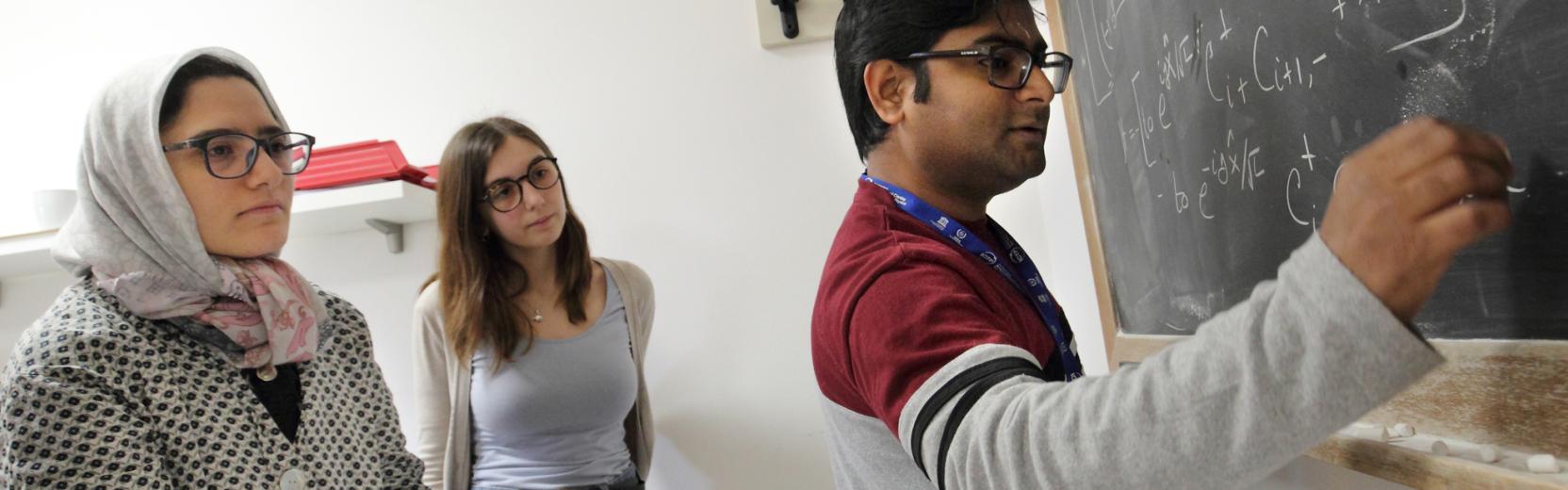
The first three days of the conference comprised theoretical
lectures on how InSAR works and a fresh update from satellite
providers like ESA, COSMO-Sky-Med and WinSAR on the existing and
future missions as well as several lectures on a variety of InSAR
applications. The last two days were dedicated to intense,
practical sessions, which involved hands-on data processing.
Full details of the sessions as well as lecture notes are
available from the
conference website.